Music is set to start automatically. If your browser blocks autoplay, click Music On once.
Site Navigation

Cave Dive World · country catalogue

Vietnam

Phong Nha-Kẻ Bàng · Sơn Đoòng · Nước Moọc · underground rivers · internal sumps · marine caverns.

Cave Dive World banner

integrated research · v0.1

Vietnam — giant river caves with the underwater map still missing

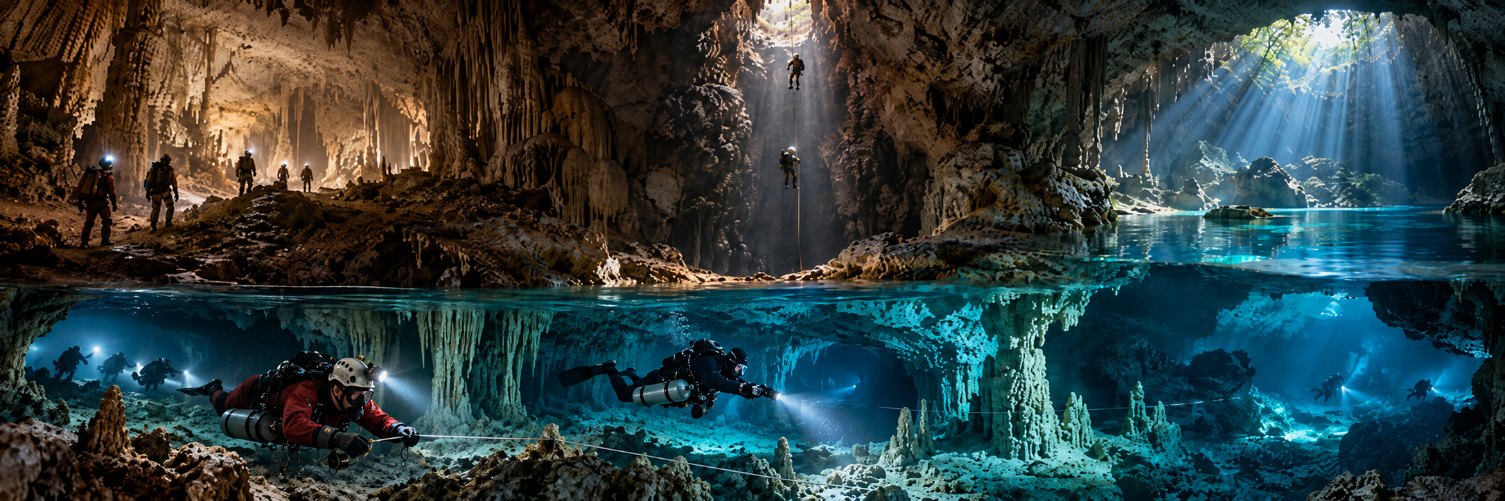
Vietnam is one of the world’s great cave countries, but its strongest underwater identity is expeditionary rather than commercial. In Phong Nha-Kẻ Bàng, specialist divers investigate submerged continuations inside giant dry and active river-cave systems.

The 2019 Sơn Đoòng terminal-sump dives to 77 m and the Nước Moọc spring dive beyond roughly 74 m revealed a deeper submerged frontier beneath a landscape already containing tens of kilometres of known dry and river cave.

Do not turn Vietnam’s swimming caves into scuba cave sites. Sơn Đoòng and Nước Moọc are protected research frontiers. Historical Quảng Bình references should be preserved, while current administration after the 2025 merger is Quảng Trị Province.

Vietnam · research catalogue

National KCore identity

Phong Nha-Kẻ Bàng contains giant dry caves, active underground rivers, resurgences and unresolved deep submerged levels. Vietnam’s cave-diving role is therefore mostly that of a specialist tool inside a larger speleological project.

By 2019 explorers were discussing a broad three-level model: dry cave, active river cave and a deeper submerged system. The underwater map remains much less complete than the famous dry-cave map.

Vietnam · research catalogue

National priority cave and overhead catalogue

Sơn Đoòng terminal sump

Region: Phong Nha-Kẻ Bàng, Quảng Trị

Type: DEEP INTERNAL SUMP / EXPEDITION DIVING

Published scale: 77 m reached in 2019; new tunnel roof ~61 m; terminal pool sounded ~93 m

Status: RESEARCH / PERMIT / ACTIVE FRONTIER

KCore note: Primary 2019 result did not confirm a physical Hang Thung connection.

Nước Moọc resurgence

Region: Phong Nha-Kẻ Bàng

Type: DEEP KARST SPRING / RESURGENCE

Published scale: 2019 dive stopped beyond ~74 m; wider system ~20-23 km class

Status: RESEARCH / PROTECTED / ACTIVE FRONTIER

KCore note: Major unresolved resurgence and likely key to deeper park hydrology.

Phong Nha Cave

Region: Phong Nha-Kẻ Bàng

Type: MAJOR UNDERGROUND-RIVER CAVE

Published scale: ~7.7 km individual cave; wider system tens of kilometres

Status: TOURISM + SPELEOLOGY / UNDERWATER FRONTIER

KCore note: Boat-access tourism exists, but technical underwater exploration is a separate permission layer.

Hang Khe Ry

Region: Phong Nha system

Type: LONG ACTIVE RIVER CAVE

Published scale: 18.902 km surveyed by 1999

Status: SPELEOLOGY / PROTECTED

KCore note: World-class river cave feeding the Hang Én / Sơn Đoòng drainage.

Hang Thung

Region: Phong Nha system

Type: GIANT RIVER CAVE / POSSIBLE HYDROLOGICAL LINK

Published scale: ~3.3 km; ~1.6 million m³ published volume

Status: RESEARCH / PROTECTED

KCore note: 2019 Sơn Đoòng dive sought a connection; primary result did not prove one.

Hang Én

Region: Phong Nha system

Type: GIANT RIVER CAVE / SWIM / DRY CAVE

Published scale: ~1.6 km

Status: MANAGED EXPEDITION TOUR / PROTECTED

KCore note: Important upstream hydrological link; not a scuba-cave destination.

Tú Làn cave system

Region: Western Quảng Trị

Type: MULTI-CAVE UNDERGROUND-RIVER NETWORK

Published scale: ~25 km class in expedition sources

Status: MANAGED ADVENTURE / SPELEOLOGY

KCore note: Frequent underground swimming; strong caver-first water-cave culture.

Hang Kim / Tò Mò sump context

Region: Tú Làn system

Type: RIVER CAVE / SUMP CONTEXT

Published scale: Hang Kim 829 m in 2011-15 expedition account

Status: SPELEOLOGY / ACTIVE SYSTEM

KCore note: Dry/river exploration bypassed a sump barrier through new cave connections.

Hang Vòm system

Region: Phong Nha-Kẻ Bàng

Type: LARGE UNDERGROUND-RIVER SYSTEM

Published scale: ~30-55 km class depending survey date/source

Status: PROTECTED / RESEARCH

KCore note: Major active network with many wet sectors and limited scuba investigation.

E Cave / Thủy Cung Cave

Region: Phong Nha-Kẻ Bàng

Type: WATER CAVE / SWIMMING CAVERN

Published scale: visitor swims ~150 m in tourism route

Status: MANAGED TOURISM

KCore note: Useful example of swimming cave tourism being distinct from scuba cave diving.

Madonna Rock

Region: Nha Trang Bay

Type: MARINE CAVERN / SWIM-THROUGHS

Published scale: main swim-through ~6-12 m; site max ~30-35 m

Status: ACTIVE / RECREATIONAL SCUBA

KCore note: Vietnam’s clearest documented recreational marine-overhead site.

Hòn Một wreck

Region: Nha Trang

Type: WRECK / ARTIFICIAL OVERHEAD POTENTIAL

Published scale: ~10-21 m

Status: ACTIVE / RECREATIONAL WRECK

KCore note: Artificial overhead only where actual penetration occurs within training/site rules.

Vietnam · research catalogue

Sơn Đoòng 2019 — when the world’s largest cave became a cave-diving problem

In 2019 Phong Nha-Kẻ Bàng National Park, Oxalis and the British Vietnam Caving Expedition invited specialist cave divers including Rick Stanton, Jason Mallinson, Chris Jewell and John Volanthen to investigate the terminal sump.

Martin Holroyd reconnoitred to about 25 m on 16 March; Chris Jewell reached 60 m on 2 April; and on 3 April Jason Mallinson reached 77 m while Rick Stanton worked the route. Jewell identified the roof of a new tunnel around 61 m. The terminal pool had been sounded to about 93 m.

The primary 2019 result did not confirm a physical connection to Hang Thung. KCore preserves the unresolved status rather than repeating simplified later headlines.

Vietnam · research catalogue

Nước Moọc — a resurgence that may unlock the deeper hydrology

Nước Moọc is a powerful clear spring in the wider Phong Nha-Kẻ Bàng drainage. Current expedition/tourism summaries place the broader system in roughly the 20-23 km class.

The 2019 specialist team also dived the resurgence and stopped beyond approximately 74 m because available equipment was no longer appropriate for greater depth. The source remains incompletely understood and is a protected research frontier rather than a public technical-dive challenge.

Vietnam · research catalogue

Phong Nha system — underground rivers first, diving second

The broader Phong Nha system has grown through decades of British-Vietnamese exploration. Depending on survey date and grouping, published totals range from more than 45 km to roughly 94 km. Hang Khe Ry alone reached 18.902 km by 1999.

Water repeatedly disappears, resurges and passes through giant open river caves. This is why the country cannot be understood by counting only “scuba caves”: the underwater frontier is embedded inside a much larger dry/river-cave plumbing system.

Vietnam · research catalogue

Hang Vòm — the second giant active-river network

Hang Vòm is another major Phong Nha-Kẻ Bàng system. Earlier national sources use totals above 30 km while later expedition/tourism summaries use figures around 55 km as exploration progressed.

The network contains active streamways, wet cave, lakes and difficult access sectors, but only a fraction of these water routes have been investigated by scuba. KCore therefore treats it as a major protected hydrological frontier, not a conventional cave-diving destination.

Vietnam · research catalogue

Tú Làn — swimming through caves is not cave diving, but the culture matters

Tú Làn has become a famous adventure-caving region where visitors trek, swim underground rivers, climb and camp under managed guidance. Cave exploration has repeatedly solved sump-like barriers through dry or river-cave bypasses; Hang Kim is a key example.

This matters to Cave Dive World because it preserves the caver-first logic: swim, climb and survey first; scuba appears only where a submerged barrier truly requires it.

Vietnam · research catalogue

Marine overhead and artificial-overhead layer

Madonna Rock in Nha Trang Bay is Vietnam’s clearest current recreational marine-cavern/swim-through example. It belongs in a separate coastal-overhead category from Phong Nha’s inland karst.

Vietnam also has wreck diving, including Hòn Một and deeper Con Dao wrecks, but this research pass did not establish a broad flooded-mine or wreck-penetration culture. Artificial overhead should be added only where actual enclosed penetration and current legal access are verified.

Vietnam · research catalogue

Rescue and training — strong caving capacity, limited public cave-diver infrastructure

Vietnam Speleological Society material describes a growing domestic caving community, regular SRT training and the country’s first/only cave-rescue group. Dry-cave rescue capability is developing faster than a dedicated underwater-cave rescue system.

This research pass did not verify a broad domestic Full Cave / technical-cave certification ecosystem comparable with Mexico or Florida. Specialist diving in Phong Nha remains better understood as project-controlled expedition/research diving.

Vietnam · research catalogue

People and organisations

Howard and Deb Limbert — long-term British Vietnam Caving Expedition leaders.
Hồ Khanh — local explorer who relocated the Sơn Đoòng entrance.
Martin Holroyd — 2019 diving-team leader/reconnaissance diver.
Rick Stanton, Jason Mallinson, Chris Jewell, John Volanthen — specialist 2019 cave-diving team.
Châu A Nguyễn / Oxalis — Vietnamese logistics and conservation-tourism partner.
British Vietnam Caving Expedition Team, Vietnam Speleological Society, Hanoi Caving Club, Phong Nha-Kẻ Bàng National Park — core institutions.

Vietnam · research catalogue

Science, seasonal flood, protection and current administration

Phong Nha-Kẻ Bàng is a UNESCO World Heritage karst laboratory. The systems preserve long groundwater histories, active river capture, specialized cave fauna and deep hydrological questions still unresolved by survey.

Central Vietnam’s monsoon can transform dry or benign river caves into fully flooded or violently active systems. Seasonal closures and project timing are therefore primary safety variables.

Historical sources refer to Quảng Bình. After Vietnam’s 2025 provincial reorganisation, current legal/administrative references place Phong Nha-Kẻ Bàng within the merged Quảng Trị Province.

Vietnam · research catalogue

Discovery frontiers

Sơn Đoòng terminal sump: 77 m reached, new deep tunnel identified, continuation unresolved.
Sơn Đoòng–Hang Thung: hydrological relationship is plausible but a traversable physical connection remains unproven in the primary 2019 result.
Nước Moọc: dive stopped beyond ~74 m; source unresolved.
Deep third level: explorers suspect a deeper submerged cave layer below the active river systems.
Hang Vòm: large wet sectors remain lightly investigated by scuba.
Northern Vietnam: domestic cavers are active, but published underwater-cave data remain sparse.

Vietnam · research catalogue

Selected source backbone

Phong Nha-Kẻ Bàng / current Quảng Trị official material; Vietnam Government and National Assembly — 2025 provincial merger; Vietnam Caves / British Vietnam Caving Expedition — long-term cave chronology and system lengths; official Sơn Đoòng portal / Oxalis — 2019 sump chronology; Vietnam Government News / VietnamPlus / VnExpress — 2019 terminal-pool and connection reporting; Vietnam Speleological Society — caving, SRT and rescue development; PADI and Nha Trang operators — Madonna Rock marine-cavern layer.

Publication rule: separate swimming-cave tourism, dry-cave expedition, internal sump diving, deep spring exploration and marine caverns. State exactly what the 2019 Sơn Đoòng dives proved and do not claim a Hang Thung connection without later primary survey evidence.