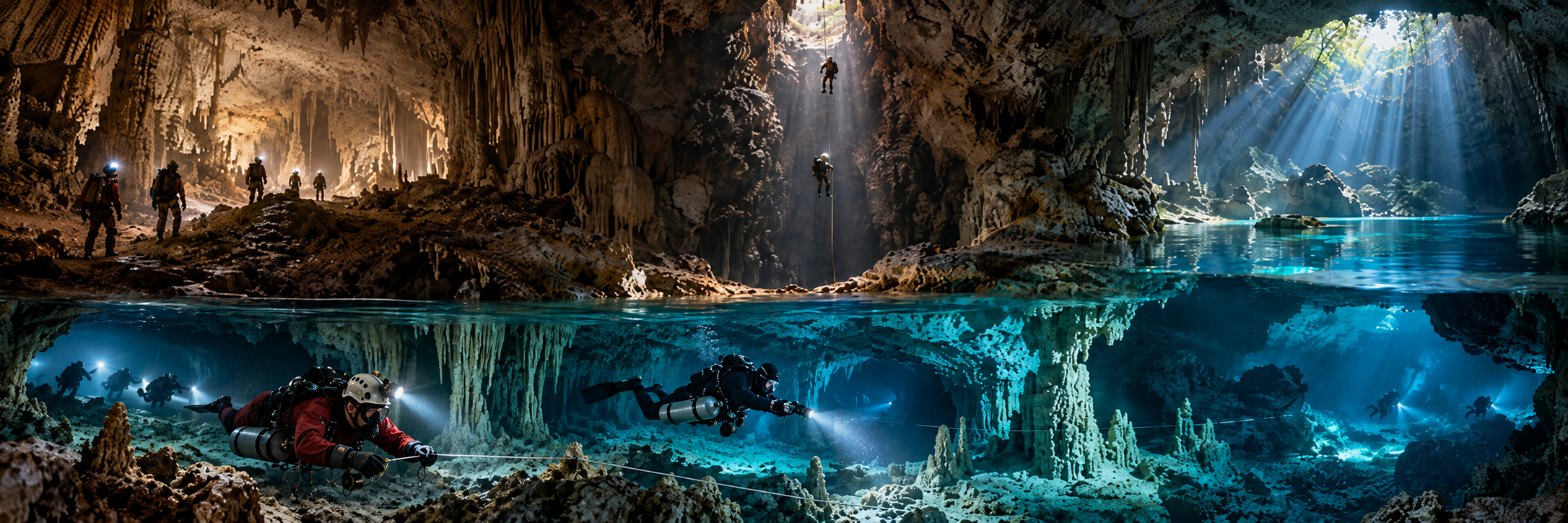
Sơn Đoòng terminal sump
Region: Phong Nha-Kẻ Bàng, Quảng Trị
Type: DEEP INTERNAL SUMP / EXPEDITION DIVING
Published scale: 77 m reached in 2019; new tunnel roof ~61 m; terminal pool sounded ~93 m
Status: RESEARCH / PERMIT / ACTIVE FRONTIER
KCore note: Primary 2019 result did not confirm a physical Hang Thung connection.
Nước Moọc resurgence
Region: Phong Nha-Kẻ Bàng
Type: DEEP KARST SPRING / RESURGENCE
Published scale: 2019 dive stopped beyond ~74 m; wider system ~20-23 km class
Status: RESEARCH / PROTECTED / ACTIVE FRONTIER
KCore note: Major unresolved resurgence and likely key to deeper park hydrology.
Phong Nha Cave
Region: Phong Nha-Kẻ Bàng
Type: MAJOR UNDERGROUND-RIVER CAVE
Published scale: ~7.7 km individual cave; wider system tens of kilometres
Status: TOURISM + SPELEOLOGY / UNDERWATER FRONTIER
KCore note: Boat-access tourism exists, but technical underwater exploration is a separate permission layer.
Hang Khe Ry
Region: Phong Nha system
Type: LONG ACTIVE RIVER CAVE
Published scale: 18.902 km surveyed by 1999
Status: SPELEOLOGY / PROTECTED
KCore note: World-class river cave feeding the Hang Én / Sơn Đoòng drainage.
Hang Thung
Region: Phong Nha system
Type: GIANT RIVER CAVE / POSSIBLE HYDROLOGICAL LINK
Published scale: ~3.3 km; ~1.6 million m³ published volume
Status: RESEARCH / PROTECTED
KCore note: 2019 Sơn Đoòng dive sought a connection; primary result did not prove one.
Hang Én
Region: Phong Nha system
Type: GIANT RIVER CAVE / SWIM / DRY CAVE
Published scale: ~1.6 km
Status: MANAGED EXPEDITION TOUR / PROTECTED
KCore note: Important upstream hydrological link; not a scuba-cave destination.
Tú Làn cave system
Region: Western Quảng Trị
Type: MULTI-CAVE UNDERGROUND-RIVER NETWORK
Published scale: ~25 km class in expedition sources
Status: MANAGED ADVENTURE / SPELEOLOGY
KCore note: Frequent underground swimming; strong caver-first water-cave culture.
Hang Kim / Tò Mò sump context
Region: Tú Làn system
Type: RIVER CAVE / SUMP CONTEXT
Published scale: Hang Kim 829 m in 2011-15 expedition account
Status: SPELEOLOGY / ACTIVE SYSTEM
KCore note: Dry/river exploration bypassed a sump barrier through new cave connections.
Hang Vòm system
Region: Phong Nha-Kẻ Bàng
Type: LARGE UNDERGROUND-RIVER SYSTEM
Published scale: ~30-55 km class depending survey date/source
Status: PROTECTED / RESEARCH
KCore note: Major active network with many wet sectors and limited scuba investigation.
E Cave / Thủy Cung Cave
Region: Phong Nha-Kẻ Bàng
Type: WATER CAVE / SWIMMING CAVERN
Published scale: visitor swims ~150 m in tourism route
Status: MANAGED TOURISM
KCore note: Useful example of swimming cave tourism being distinct from scuba cave diving.
Madonna Rock
Region: Nha Trang Bay
Type: MARINE CAVERN / SWIM-THROUGHS
Published scale: main swim-through ~6-12 m; site max ~30-35 m
Status: ACTIVE / RECREATIONAL SCUBA
KCore note: Vietnam’s clearest documented recreational marine-overhead site.
Hòn Một wreck
Region: Nha Trang
Type: WRECK / ARTIFICIAL OVERHEAD POTENTIAL
Published scale: ~10-21 m
Status: ACTIVE / RECREATIONAL WRECK
KCore note: Artificial overhead only where actual penetration occurs within training/site rules.