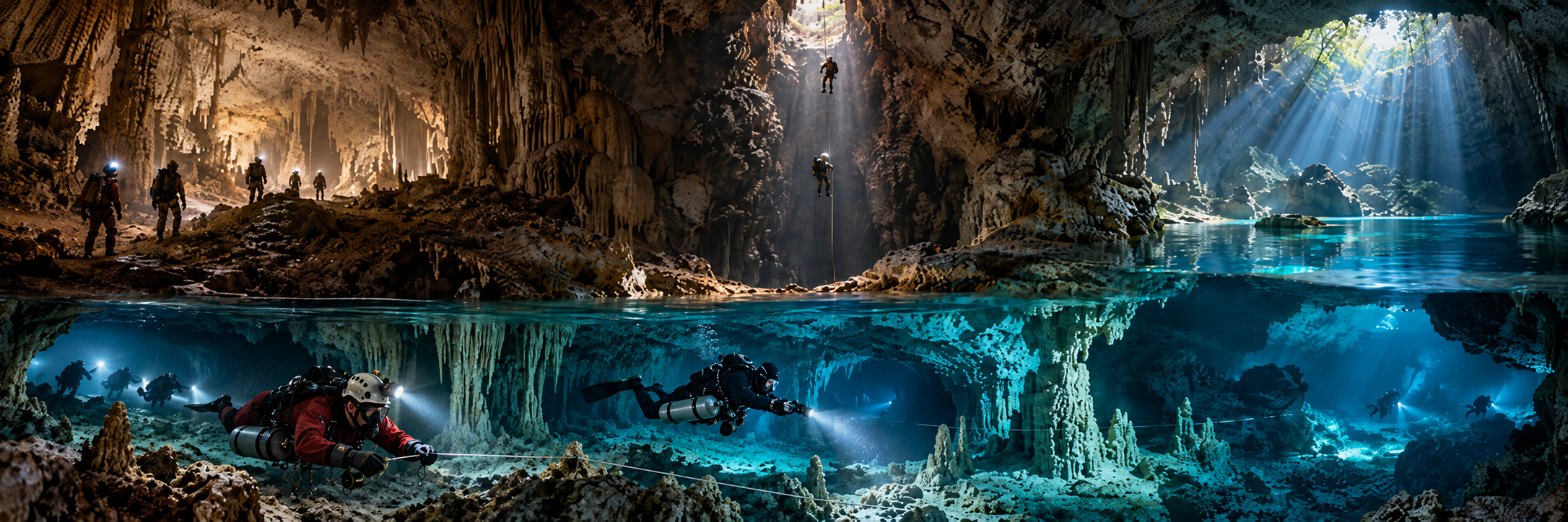
Wookey Hole
Region: England · Mendip
Type: Natural resurgence / show cave + deep sumps
Scale / character: 3,659 m total; 143 m vertical; extensive submerged and dry exploration
Current access: MANAGED / RESEARCH ACCESS
KCore note: 1935 pioneer expedition; flagship British cave-diving site and later mixed-gas/CCR laboratory.
Swildon's Hole
Region: England · Mendip
Type: Natural multi-sump cave
Scale / character: 9,146 m; 167 m vertical; dry cavers can reach Sump 9; diving continued to Swildon’s 12
Current access: LANDOWNER / LOCAL ACCESS RULES
KCore note: The original British sump problem; diving experiments began in 1934.
Gough's Cave
Region: England · Mendip
Type: Natural resurgence / show cave
Scale / character: 3,405 m; 115 m vertical; extensive submerged river discovered by CDG in 1986
Current access: MANAGED / RESEARCH
KCore note: Major Cheddar resurgence with active modern dive reports.
Stoke Lane Slocker
Region: England · Mendip
Type: Natural swallet / sumps
Scale / character: Multi-sump cave
Current access: ACCESS VERIFY
KCore note: Classic British dry approach + flooded barrier + continuation.
Keld Head / West Kingsdale
Region: England · Yorkshire Dales
Type: Natural resurgence / long underwater system
Scale / character: Kilometres of submerged passage
Current access: SENSITIVE PERMISSION
KCore note: Defining system in world sump-diving history.
Kingsdale Master Cave / Valley Entrance
Region: England · Yorkshire Dales
Type: Natural master cave
Scale / character: Large active master stream linked underwater to Keld Head
Current access: VALLEY ENTRANCE: no restriction; route-specific checks
KCore note: Central to 1979 and 1991 connection story.
King Pot
Region: England · Yorkshire Dales
Type: Natural pot + terminal sump
Scale / character: 3.05 km through-dive route achieved 1991
Current access: COURTESY CALL / ACCESS LAND
KCore note: Extreme dry-caving approach plus world-record underwater traverse.
Boreham Cave
Region: England · Yorkshire Dales
Type: Natural cave behind sump
Scale / character: No substantial cave accessible without diving
Current access: NO GENERAL ACCESS
KCore note: Access is limited to scientific/conservation visits.
Hurtle Pot / Midge Hole
Region: England · Yorkshire Dales
Type: Natural resurgence / sump system
Scale / character: Historic CDG exploration; modern connection
Current access: HURTLE: no restriction in CNCC listing
KCore note: Classic roadside-looking water with serious sump conditions.
Malham Cove Rising
Region: England · Yorkshire Dales
Type: Natural resurgence
Scale / character: Major limestone spring
Current access: ACCESS VERIFY / CDG ADVICE
KCore note: Hydrologically important Dales target.
Gaping Gill - Deep Well / Ingleborough Cave
Region: England · Yorkshire Dales
Type: Giant cave system + sumps
Scale / character: 1983 diver connection; Deep Well extended in 2010
Current access: BOOKING / LANDOWNER varies
KCore note: Diving used to connect one of Britain’s iconic dry cave systems.
Lancaster Hole sump
Region: England · Yorkshire Dales
Type: Natural terminal sump
Scale / character: 840 m exploration reported in 2011
Current access: BOOKING / local access
KCore note: Long underwater continuation within the Three Counties landscape.
Nidd Heads / Goyden / New Goyden
Region: England · Yorkshire Dales
Type: Resurgences + active river caves
Scale / character: Multiple sumps and hydrological connections
Current access: Generally open; flood/scour-test hazards
KCore note: Reservoir releases can create dangerous flood pulses.
Peak Cavern / Speedwell System
Region: England · Derbyshire
Type: Natural cave + historic lead-mine access
Scale / character: ~18 km combined system; one UK cave dive reaches ~74 m depth
Current access: PERMISSION / MANAGED ACCESS
KCore note: Central Derbyshire cave-diving system; recurrent flooding controls access.
Peak Cavern Far Sump
Region: England · Derbyshire
Type: Natural internal sump
Scale / character: Historic route ~395 m to Far Sump Extension
Current access: PROJECT / MANAGED
KCore note: Classic long internal sump later partly bypassed by dry connections.
P8 / Jackpot
Region: England · Derbyshire
Type: Natural pot + sumps
Scale / character: ~183 m sump with dry passage beyond after 1987 breakthrough
Current access: ACCESS VERIFY
KCore note: Rick Stanton passed a blockage in 1987.
Bagshawe Cavern
Region: England · Derbyshire
Type: Natural cave + deep sumps
Scale / character: Large stream cave with active 2022–24 downstream exploration
Current access: KEY / local management
KCore note: Still a live underwater exploration project.
Ogof Ffynnon Ddu (OFD)
Region: Wales
Type: Natural giant cave / sumps
Scale / character: 57,500 m; 294 m vertical
Current access: NATURE RESERVE / CONTROLLED ACCESS
KCore note: Divers proved OFD1–OFD2 connection in 1966 and Cwm Dwr connection in 1967.
Dan-yr-Ogof
Region: Wales
Type: Natural resurgence / show cave + system
Scale / character: 16,000 m; 150 m vertical
Current access: WARDEN / CAVE MANAGEMENT
KCore note: Iconic South Wales river cave with serious beyond-tourist cave.
Agen Allwedd
Region: Wales
Type: Natural giant cave / multiple sumps
Scale / character: 32,500 m; 160 m vertical
Current access: GATED / KEY
KCore note: Classic long Welsh system with substantial sump exploration.
Daren Cilau / Pwll y Cwm / Elm Hole
Region: Wales
Type: Natural giant cave + terminal sump
Scale / character: 29,800 m; 232 m; terminal sump ~600 m to Elm Hole
Current access: CONTROLLED / difficult approach
KCore note: Among Britain’s most arduous systems; diving created remote links.
Little Neath River Cave / Bridge Cave
Region: Wales
Type: Natural river cave + connecting sump
Scale / character: Bridge Cave sump ~50 m connects to larger cave
Current access: LANDOWNER FEE / current rules
KCore note: Classic short sump opening access to a much larger river cave.
Llygad Llwchwr
Region: Wales
Type: Natural resurgence
Scale / character: ~125 m submerged passage beyond four river chambers
Current access: OFFICIAL PERMISSION NOT GENERALLY GIVEN
KCore note: Historic water-supply complication; route cleared in 2003.
Porth yr Ogof
Region: Wales
Type: Natural river cave / sumps
Scale / character: Major recreational cave with sump-diving history
Current access: PUBLIC SITE / cave-specific hazards
KCore note: Important in accident history; not a casual cave-dive recommendation.
Uamh an Claonaite
Region: Scotland · Assynt
Type: Natural cave / sumps
Scale / character: Scotland’s longest cave system; sections sump in wet conditions
Current access: NO GENERAL RESTRICTION; SSSI/stalking considerations
KCore note: Remote Assynt system where cave and water conditions dominate logistics.
Lower Traligill Cave / Traligill Rising
Region: Scotland · Assynt
Type: Active cave / resurgence
Scale / character: Part of Traligill karst drainage
Current access: NO GENERAL RESTRICTION; seasonal considerations
KCore note: Historic CDG sump reports and hydrological interest.
Marble Arch Caves
Region: Northern Ireland · Fermanagh
Type: Major limestone cave system
Scale / character: Historic CDG sump reports; major regional cave landscape
Current access: SITE-SPECIFIC / MANAGED
KCore note: Northern Ireland is explicitly part of CDG remit and stays separate from Republic of Ireland catalogue.
Upper Dinas Silica Mine
Region: Wales
Type: Flooded mine / artificial overhead
Scale / character: Longstanding mine-diving exploration; active 2026 CDG report
Current access: VERIFY CURRENT OWNER / CAVING WALES
KCore note: One of the UK’s important mine-diving environments.
Aber Las Mine
Region: Wales
Type: Flooded mine
Scale / character: Active 2026 CDG reports
Current access: SITE-SPECIFIC / VERIFY
KCore note: Living project, not historic-only mention.
Hodge Close Quarry
Region: England · Cumbria
Type: Open flooded quarry + submerged mine workings
Scale / character: Deep slate quarry with underwater tunnels
Current access: LOCAL/LEGAL ACCESS VERIFY
KCore note: Not natural cave and not benign quarry diving.
Tyne Bottom Mine / Alston-Nenthead area
Region: England · North Pennines
Type: Flooded mine / industrial overhead
Scale / character: Historic and modern CDG mine-diving reports
Current access: HIGHLY SITE SPECIFIC
KCore note: Mining archaeology, unstable workings and landowner issues require conservative labels.