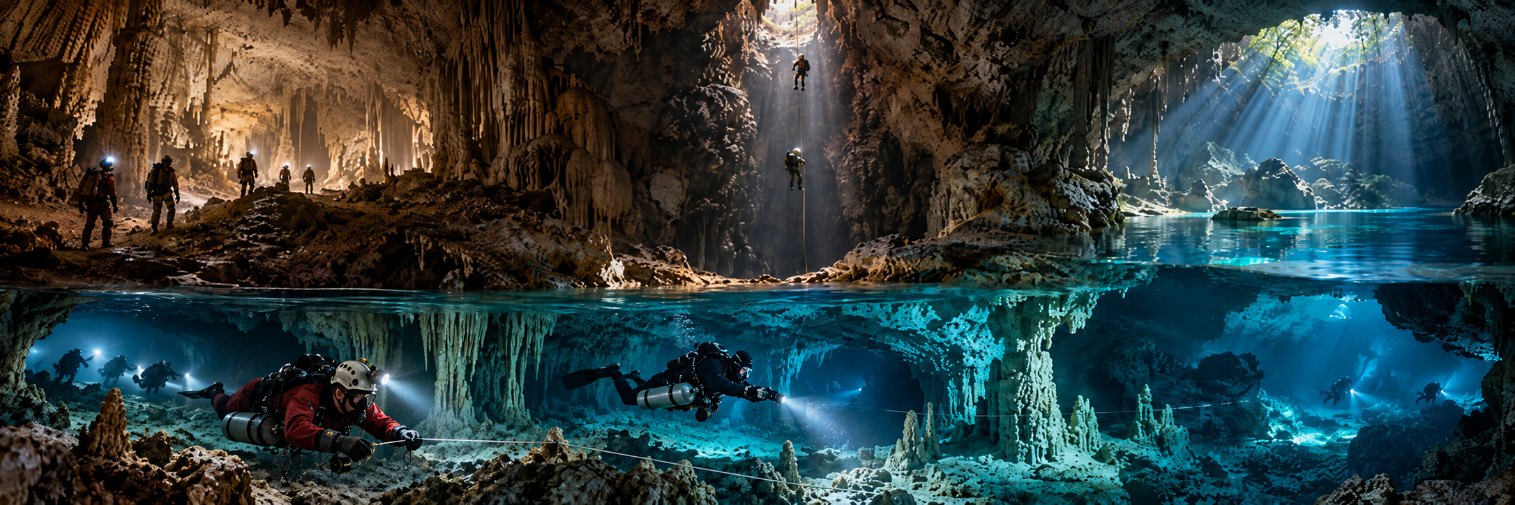
Plura / Pluragrotta
Region: Plurdalen, Rana / Nordland
Type: MAJOR WATER-FILLED CAVE / THROUGH SYSTEM
Published scale: ~2.6 km system; deep section ~130-132 m; major air chamber / second dry entrance
Status: ACTIVE / MANAGED / TRAINING / TECHNICAL
KCore note: Norway’s flagship and Scandinavia’s most important cave-diving destination.
Litjåga
Region: Dunderlandsdalen / Nordland
Type: FRESHWATER MARBLE CAVE
Published scale: Shallower than Plura; narrow/restrictive sections; public metrics not frozen
Status: ACTIVE / SPECIALIST / WEATHER DEPENDENT
KCore note: Clear-water cave used in Full Cave training; flow controls access.
Sagelva cave system
Region: Sørfold / Nordland
Type: FRESHWATER CAVE / ACTIVE EXPLORATION
Published scale: Current survey evolving
Status: ACTIVE EXPLORATION
KCore note: Current Norwegian frontier; public metrics intentionally limited while exploration continues.
Røyrvik cave group
Region: Trøndelag
Type: SHALLOW LIMESTONE CAVES / SIDEMOUNT
Published scale: Multiple shallow caves
Status: ACTIVE EXPLORATION / ACCESS VERIFY
KCore note: Bright shallow systems suited to small-team sidemount exploration.
Dumdalen project area
Region: Lom / Innlandet
Type: DRY RIVER CAVES / SUBMERGED FRONTIER
Published scale: Multiple river caves; active stream disappears underground
Status: SPELEOLOGY / EXPLORATION
KCore note: Caver-first environment; underwater sections are a possible continuation, not a routine dive destination.
Steinugleflåget
Region: Plura system / Nordland
Type: DRY CAVE ENTRANCE TO DEEP WATER-FILLED SYSTEM
Published scale: ~250 m class dry air chamber / deep connection through Plura
Status: CAVE / EXPEDITION ACCESS
KCore note: Second entrance to Plura; central to through-dives, rescue and the 2014 history.
Trollkjærka
Region: Plurdalen
Type: COLLAPSE / SINK / KARST HYDROLOGY
Published scale: River disappears underground before resurgence
Status: NATURAL FEATURE / ACCESS CONTEXT
KCore note: Hydrological feature showing where the Plura river enters the mountain.