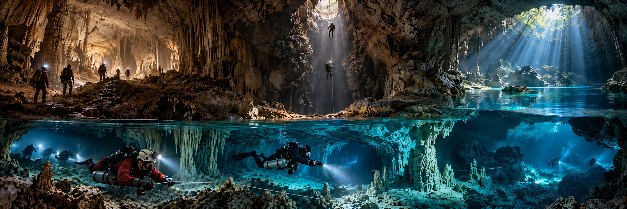
Inazumi Underwater Cave
Region: Oita
Type: SUBMERGED LIMESTONE CAVE
Published scale: 1,000 m+ surveyed; max ~46 m in modern project records
Status: ACTIVE PROJECT / TRAINING / MANAGED
KCore note: Japan’s longest verified underwater limestone cave; exploration since 1976, renewed 2014 and 2024-26.
Unbuki
Region: Tokunoshima
Type: ANCHIALINE / SUBSEA LIMESTONE CAVE
Published scale: ~700 m straight-line penetration; ~1 km total reported
Status: DIVING PROHIBITED / RESEARCH
KCore note: Major archaeological and biological cave; marine connection remains unresolved.
Ryusendo
Region: Iwate
Type: UNDERGROUND-LAKE CAVE / SUMPS
Published scale: ~4.1 km known; 8 lakes; public third lake 98 m; deeper lake ~120 m
Status: RESEARCH / NATURAL MONUMENT
KCore note: Long-running scientific cave-diving programme since the 1960s.
Akiyoshidai groundwater systems
Region: Yamaguchi
Type: MULTI-SUMP KARST / RESEARCH
Published scale: historic submerged surveys ~250-300 m from entrances; major unexplored sections
Status: ACTIVE RESEARCH 2026
KCore note: Modern project is revisiting historic lines, maps and hydrological questions.
Hirobe Gama
Region: Okinawa Main Island
Type: MARINE / SUBSEA LIMESTONE CAVE
Published scale: ~620-680 m historical total
Status: TECHNICAL CAVE / RESEARCH
KCore note: Historic benchmark underwater limestone cave outside the tourist-cavern layer.
Hidenchi Gama
Region: Kumejima
Type: DEEP SUBSEA LIMESTONE CAVE
Published scale: 400 m+; entrance ~38 m; average cave depth >35 m
Status: TECHNICAL CAVE / MANAGED
KCore note: Decompression cave with major submerged speleothems and specialist biology.
South Daito cave groups
Region: South Daito
Type: ANCHIALINE / SUBMERGED LIMESTONE CAVES
Published scale: 20+ subterranean lakes dived among nearly 100 checked dolines/caves
Status: RESEARCH / PRIVATE-PROPERTY PERMISSION
KCore note: White Cave, Black Cave and other isolated systems; extremely clear, low-flow and silt-sensitive.
Tori-ike
Region: Shimoji / Miyako
Type: SEA-CONNECTED COLLAPSE PONDS / MARINE KARST
Published scale: ponds ~25 m and ~40 m deep; sea opening ~10 m diameter
Status: ACTIVE MARINE DIVE / PROTECTED LANDSCAPE
KCore note: National scenic/natural monument; marine karst rather than a long inland cave.
Chosei Coal Mine
Region: Yamaguchi
Type: SUBMERGED UNDERSEA COAL MINE
Published scale: historic workings offshore; modern memorial survey through shafts/passage
Status: MEMORIAL / RESEARCH — SUSPENDED
KCore note: 1942 disaster site; remains-recovery diving began 2024-25 and was suspended after a 2026 diver fatality.