Giant Cave
Region: Caye Caulker
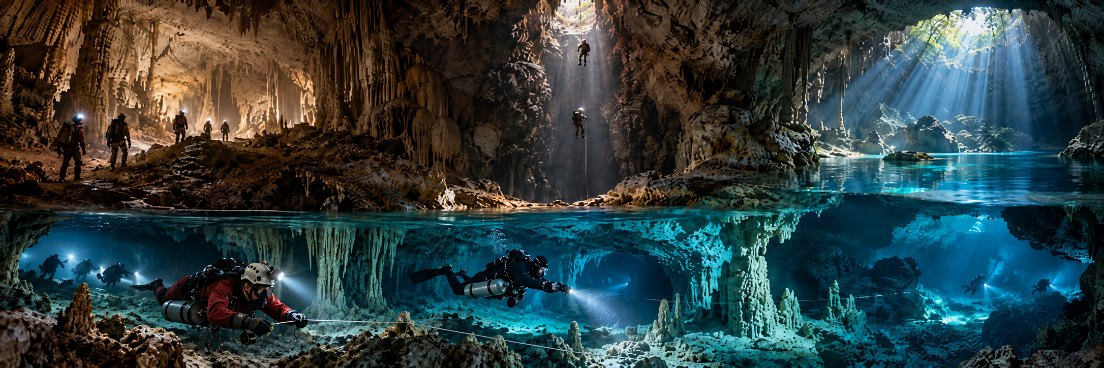
Type: ANCHIALINE FULL CAVE
Published scale: ~30,000 ft / ~9 km surveyed; max depth ~45-55 m source-dependent
Status: FULL CAVE / GUIDED / PERMISSION
KCore note: One of Central America’s major submerged cave systems; modern survey and line restoration 2012-2019.
Winter Wonderland
Region: Caye Caulker / Caye Chapel area
Type: MARINE-ANCHIALINE CAVE / CAVERN
Published scale: average ~29 m; max ~39 m in published profile
Status: ACTIVE CAVERN / CAVE TRAINING
KCore note: Highly decorated cave with current cavern-training role.
Queen of Hearts / Rabbit Hole routes
Region: Caye Caulker cave region
Type: CAVE ROUTES / BRANCHES
Published scale: public metrics sparse
Status: ADVANCED / ACCESS VERIFY
KCore note: Preserve route names without inventing independent-system status.
Great Blue Hole
Region: Lighthouse Reef
Type: DROWNED COLLAPSE SINKHOLE / OVERHANGS
Published scale: ~300-318 m across; ~120-124 m deep
Status: ACTIVE RECREATIONAL + TECHNICAL / PROTECTED
KCore note: Global icon; open central ascent with paleo-cave overhangs and stalactites.
Great Blue Hole bottom
Region: Lighthouse Reef
Type: EXTREME TECHNICAL OPEN-SINKHOLE DIVE
Published scale: 123 m bottom reached by scuba team in 1995
Status: HISTORIC TECHNICAL / RESEARCH
KCore note: First scuba bottom expedition; H2S layer around 90 m.
The Abyss
Region: North Lighthouse Reef
Type: DEEP SUBMARINE CAVE
Published scale: 148 m reached in 1997; continuation unresolved
Status: EXTREME TECHNICAL / EXPEDITION
KCore note: Often overlooked deep cave, colder below H2S layer.
Actun Tun Kul–Cebada connection
Region: Chiquibul NP
Type: RIVER-CAVE SUMP / CONNECTION
Published scale: ~60 m connection dive in 1999; combined cave ~39 km then
Status: RESEARCH / EXPEDITION / STRICT MANAGEMENT
KCore note: Classic caver-first dive that physically linked giant cave sections.
Eel / Shrimp / fourth sumps
Region: Chiquibul system
Type: MULTI-SUMP EXPEDITION
Published scale: multiple sumps dived in 1999
Status: RESEARCH / FRONTIER
KCore note: Underwater barriers deep inside a huge jungle river-cave system.
St. Herman’s–Petroglyph connection
Region: Caves Branch / Cayo
Type: RIVER-CAVE SUMP CONNECTION
Published scale: successful connection in 1988; >1,500 ft further water passage 1990-91
Status: HISTORIC / PROTECTED / TOURISM REGION
KCore note: Important inland Belize cave-diving milestone.
Actun Tunichil Muknal upstream sump
Region: Tapir Mountain Nature Reserve
Type: RIVER CAVE / TERMINAL SUMP
Published scale: main cave ~4.8 km; river section ~3.2 km
Status: GUIDED ARCHAEOLOGY / NO PUBLIC SCUBA
KCore note: Major Maya ritual cave; tourism access is highly controlled.
St. Herman’s / Inland Blue Hole
Region: Blue Hole National Park, Cayo
Type: RIVER CAVE + COLLAPSE SINKHOLE
Published scale: tourist cave/kayak system; inland Blue Hole ~8-9 m wall depth
Status: MANAGED TOURISM / PROTECTED
KCore note: Public water-cave culture over a real historic sump-diving layer.